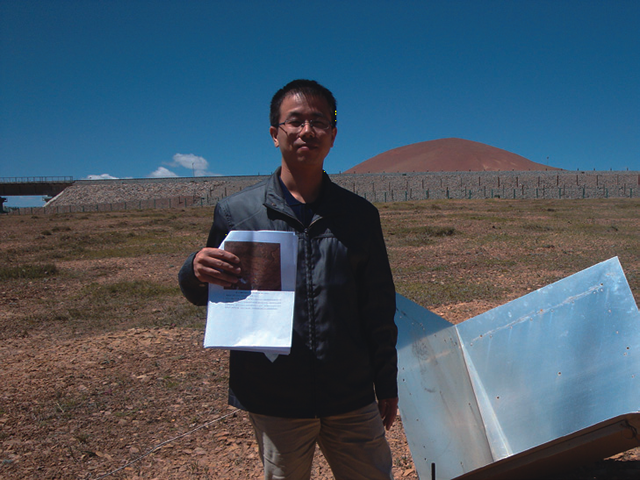
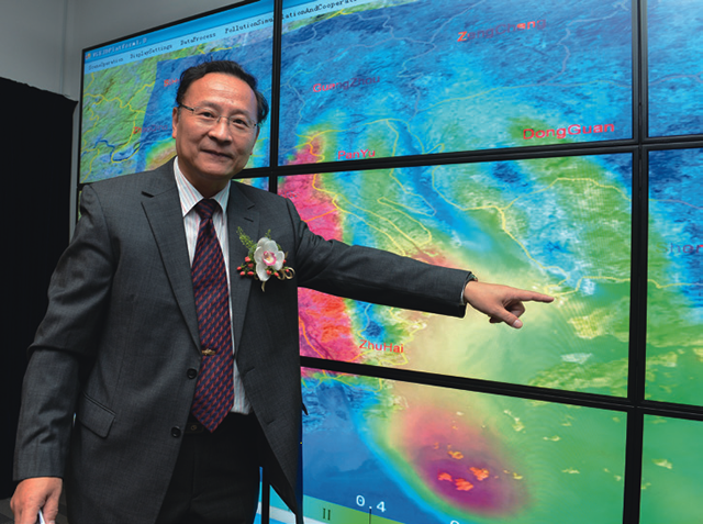
 Prof. Lin Hui
This project aims to enhance the
capability of deformation monitoring
for Qinghai-Tibet railway combining
Differential Synthetic-Aperture Radar
Interferometry (DInSAR) and Global
Positioning System (GPS) observations.
Large scale man-made linear features,
including railways, bridges, highways,
dams, metro-lines and pipes, play an
essential role in physical distribution
and energy transportation in modern
society. Qinghai-Tibet railway, as a
typical large scale man-made linear
feature, passes through permafrost
regions with its length of more than
550 km. Surface deformations caused by
seasonally freezing bulge and thawing
subsidence have a great influence
on the railway stability, resulting in
hazards to engineering construction
and maintenance in permafrost regions.
Hence, surface deformation along the
railway shall be carefully monitored to
ensure safety and effective operations.
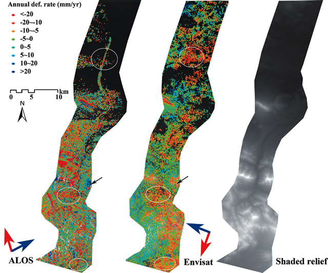 PS-InSAR derived Surface motion along the embankment of Qinghai-Tibet Railway using C- and L- band SAR data
DInSAR and GPS observations are both
capable of providing ground deformation
measurements up to millimetric accuracy.
However, such technologies confront
challenges in the Qinghai-Tibet railway
monitoring. The difficulties are two-fold,
firstly, point-based GPS observation is
not cost-effective to monitor the 550km-long-railway with reasonably high
density. Secondly, although advanced
DInSAR techniques can provide promising
performance for area-based ground
deformation monitoring, its capability in
linear-based features is still questionable.